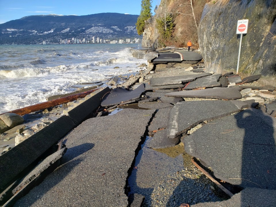
Metro Vancouver could be among the first global cities to get flooded by rising sea levels, according to a recent survey.
To rank the cities, San Francisco-based insurance researcher Matthew Nash assumed a sea level rise of 1.5 metres by century’s end using . (A recent U.S. government on sea-level rise estimated water levels could climb by up to 2.1 metres by 2100, much higher than previously expected.)
From there, Nash cross-referenced the most visited cities in the world affected by sea level rise using data from , a global business intelligence, market analysis and consumer insights firm.
The resulting 36 cities were then ranked by population to highlight how many people could be displaced. The survey suggests more than 226 million people could be directly affected by rising seas in the coming years. The top three cities under threat included Tokyo, Mumbai and New York City.
Metro Vancouver came in 19th on the list, with landmarks such as Steveston Harbour, Vancouver International Airport and Granville Island facing potential flooding.
Other global landmarks flagged as under threat from rising seas include St. Mark’s Basilica in Venice, Italy, Easter Island, Chile, and the Statue of Liberty in New York City.
Climate Central’s Coastal Risk Screening Tool does have access to levee data outside of the United States. Therefore, the results, which show much of Richmond, Delta and Surrey underwater, almost certainly underestimate the effects of coastal defences.
On the other hand, Climate Central’s maps do not account for future changes in the frequency or intensity of storms, erosion, inland flooding or rising water levels made worse by rainfall or rivers.
The survey was not peer-reviewed.


