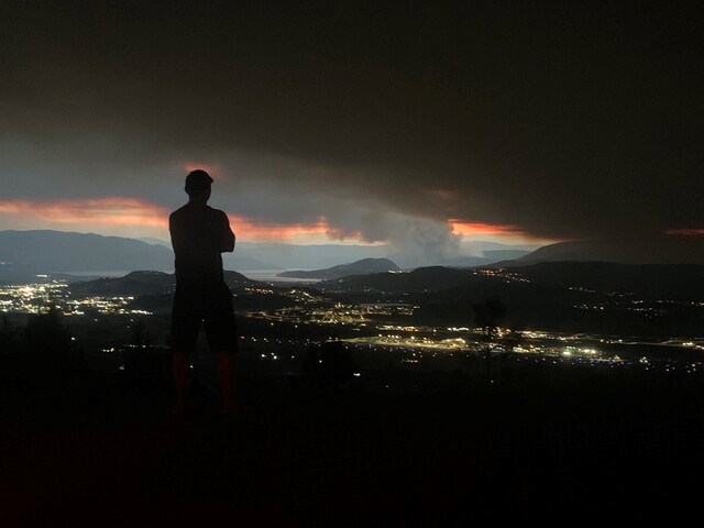
While strong winds are expected to continue across B.C.'s Interior through Monday evening, temperatures are forecast to become cooler into next weekend and through the rest of the summer.
Overnight, gusting winds hit the many fires burning in the province's Interior, causing extreme fire behaviour and in some areas. The winds are forecast to continue through Monday, with a shift of wind direction expected this afternoon.
“That is a concern in terms of what that could do for the fire behaviour, seeing those winds coming from the southwest, shifting round to being from the northwest,” said Geoff Coulson, warning preparedness meteorologist with Environment Canada.
“We've seen some gusts up to 35, 40 km/h with these winds from the southwest and it looks at this point, we could be seeing something similar out of the northwest initially, before the winds died down this evening.”
There is also the possibility of rain showers in the Interior Monday afternoon with possible lightning as well.
But with sustained high temperatures across the Interior all summer fuelling this season's terrible wildfire season, that could begin to change.
“[It's] setting up to be more mid 20s for those daytime highs through mid-week, and then actually dropping down a bit further as we get into the weekend with forecast highs of 21 to 23,” Coulson said.
“The normal high for this time of year is 26 C.”
And the longer range models show that cooling trend could be sticking around for the foreseeable future.
“There does seem to be some fairly consistent results coming back saying that it does look to be more seasonal to finish off the month of August and to start off the month of September; maybe even a few days here and there that are cooler than seasonal,” Coulson said.
“I'm not sure what that could imply in terms of the wildfire situation, but certainly in terms of the incredible heat that's been experienced off and on during the course of the summer, it does look like that pattern is starting to break down.”


