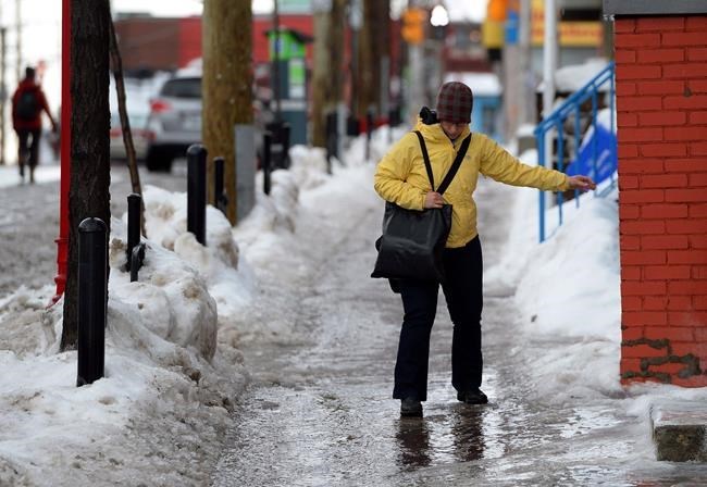
TORONTO — A winter storm descended on Ontario on Thursday, causing a snowy, wet and icy evening commute in some regions.
Much of southern Ontario as well as some northern parts of the province were under snowfall and freezing rain warnings as Environment Canada advised against non-essential travel.
Steven Flisfeder, a meteorologist with Environment Canada, said a low-pressure system travelling from the U.S. — known as the Colorado low — brought a substantial amount of freezing rain over southwestern Ontario before snow started to fall in peaks and valleys.
Environment Canada has forecasted up to 20 cm of snow in the province's southeast by Friday night and up to 25 cm in northeastern regions by Saturday morning.
The weather prompted several flights to be delayed or cancelled at Toronto's Pearson International Airport on Thursdaywhile multiple school boards across the province cancelled buses. Some parts of the province saw power outages.
Flisfeder said the storm was not historic but "definitely impactful" and "a little atypical" due to how it interacted with another similar system off the eastern states.
The storm was travelling east across the province and into Quebec, with snow expected through Saturday morning. Southern Manitoba was expected to see up to 30 cm of snow by the weekend.
Flisfeder said another low-pressure system could make its way across Ontario next week, and with temperatures set to hover around the freezing mark, any snow would likely stay until Christmas.
"If it were to occur, it would be southern Ontario and parts of northeastern Ontario once again, but at the same time keep in mind that forecasts can, and almost certainly will, change," he said.
As for how many snowstorms the province will see this winter — which officially begins on Dec. 21 — he said that's "very difficult" to predict.
"It's looking like it will continue to be near normal (this winter) in terms of precipitation," Flisfeder said.
"How that precipitation falls, whether it be rain, snow or somewhere in the middle — that's something that we can't really get into specifics about."
This report by The Canadian Press was first published Dec. 15, 2022.
Jessica Smith, The Canadian Press


