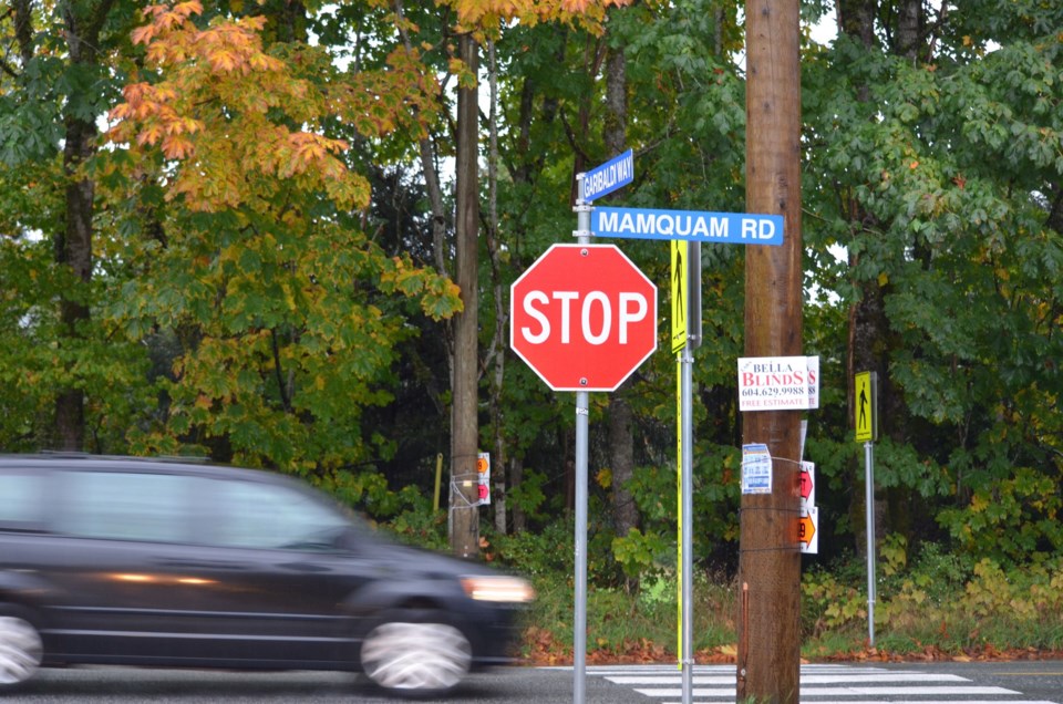
Last October, I attended a Garibaldi Estates Neighbourhood Planning open house. I left horrified but also embarrassed by my naivety about municipal planning and politicking. Afterwards, I pledged to be more engaged in what’s happening to this community, which I have called home since 2005.
I read the ; I engaged on , I reached out to all council members and met with those who responded. I went to coffee with councillors, met with the mayor and connected with neighbours.
I listened intently at the neighbourhood open house at Howe Sound Secondary school. I also reached out to the �鶹�����Food Policy Council and was invited to the Districts’ planning for food and agriculture in the Garibaldi Estates’ session in December.
Most recently, I attended a small discussion group conversation for the Garibaldi Estate Neighbourhood Plan, facilitated by Matt Gunn from the District of �鶹�����Planning Department.
In preparation, I searched for the actual definition of where Garibaldi Estates is. I couldn’t find one. I was perplexed as we are in Stage 3 of Neighbourhood Planning for Garibaldi Estates. How we can possibly plan a neighbourhood that does not have defined parameters?
The District has a mandate of “housing diversity” in Garibaldi Estates. This confuses me. I think Garibaldi Estates, as I believe it to exist, exemplifies diversity. It currently has a small farm, manufactured/mobile homes, row houses, commercial/mixed-use, a multitude of townhouses, duplexes, tri and quad-plexes, single family homes, small lot homes in Amblepath, and more.... that’s a pretty diverse selection with a variety of price points.
The fact that one can’t easily find a map of our neighbourhoods didn’t sit well with me.
After some sleuthing, I did find a map of neighbourhoods — created by the District of �鶹�����— on . Apparently, if you are a developer and looking to invest in Squamish, there are defined neighbourhoods for you to choose from. If you are a resident, taxpayer and engaged citizen looking to participate in Neighbourhood Planning, there is not.
This, along with other issues in the process, has left me thinking that this is not a true neighbourhood planning exercise. It is a play to develop the VLA Land. Scarce, arable, productive food-producing land currently protected from medium/high density and further subdivision by a decades-old bylaw in place to save it from development and to support local, healthy food production.
Having no defined neighbourhoods seems like a convenient way to create narratives that suit desired outcomes for the infill agenda.
How can you have a density equation with no parameters to calculate from?
This is a precarious precedent for this Neighbourhood Plan as well as those to follow.
Jill Dunnigan
Garibaldi Estates


